GIS Survey:
Utilizing drones, we capture geospatial data to create detailed maps and perform spatial analysis, enabling efficient decision-making and resource management.
We created the best drone services. Our Services are offered in multiple sectors and with features that allow our clients to tailor the propositions that are proven to increase customer engagement and retention.
Drone Flight
Survey Projects
countries

Utilizing drones, we capture geospatial data to create detailed maps and perform spatial analysis, enabling efficient decision-making and resource management.

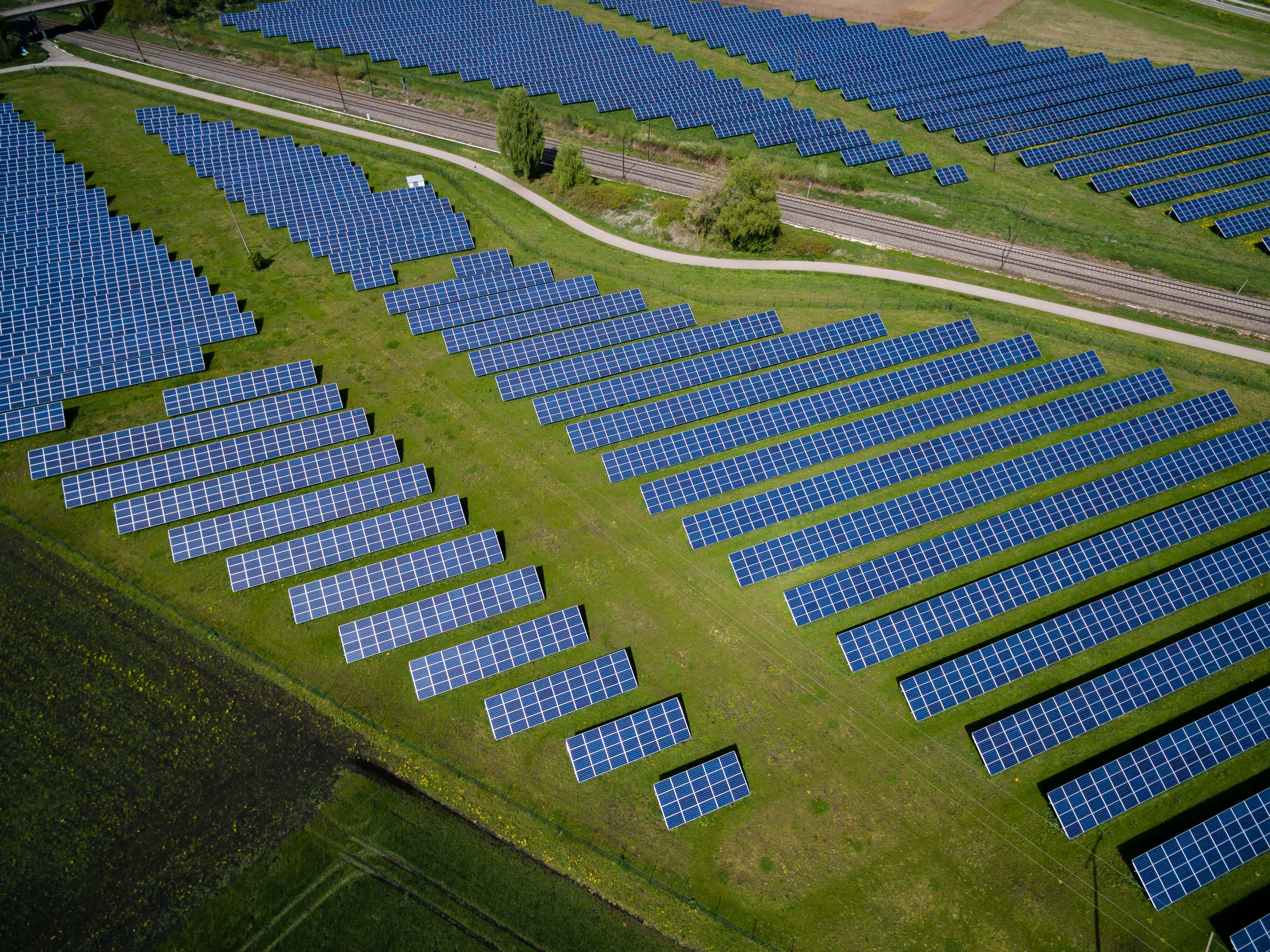
We generate high-resolution orthophotos, which are geometrically corrected aerial images, to support mapping, planning, and analysis activities.

Our drone surveys assist in accurately mapping and updating land boundaries, land ownership, and property details, facilitating efficient land management and administration.

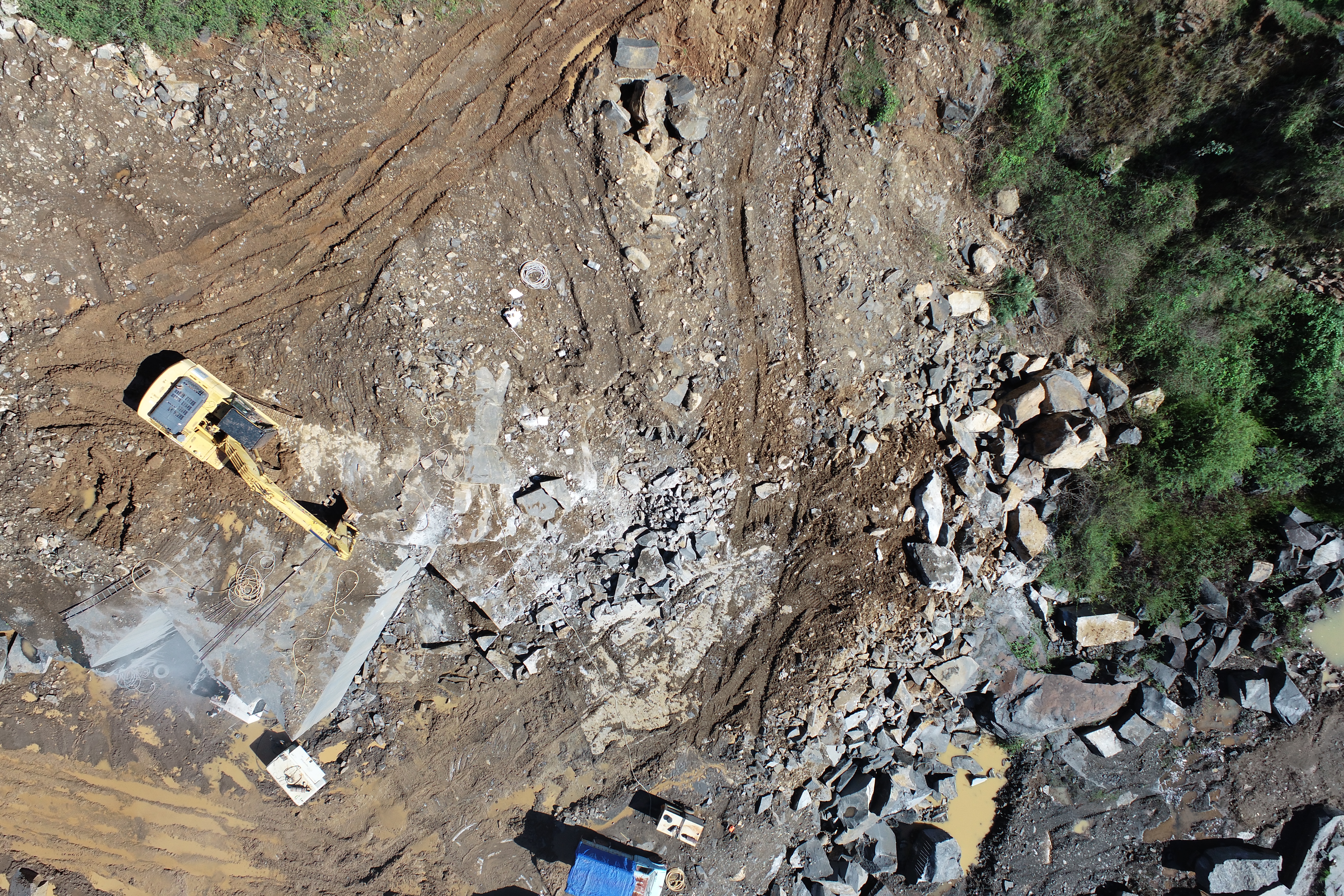
We conduct rockfall surveys using drones to identify and assess potential rockfall hazards, ensuring the safety of infrastructure and surrounding areas.

We create digital surface models (DSMs), digital elevation models (DEMs), and digital terrain models (DTMs) to provide detailed and accurate representations of the land surface.

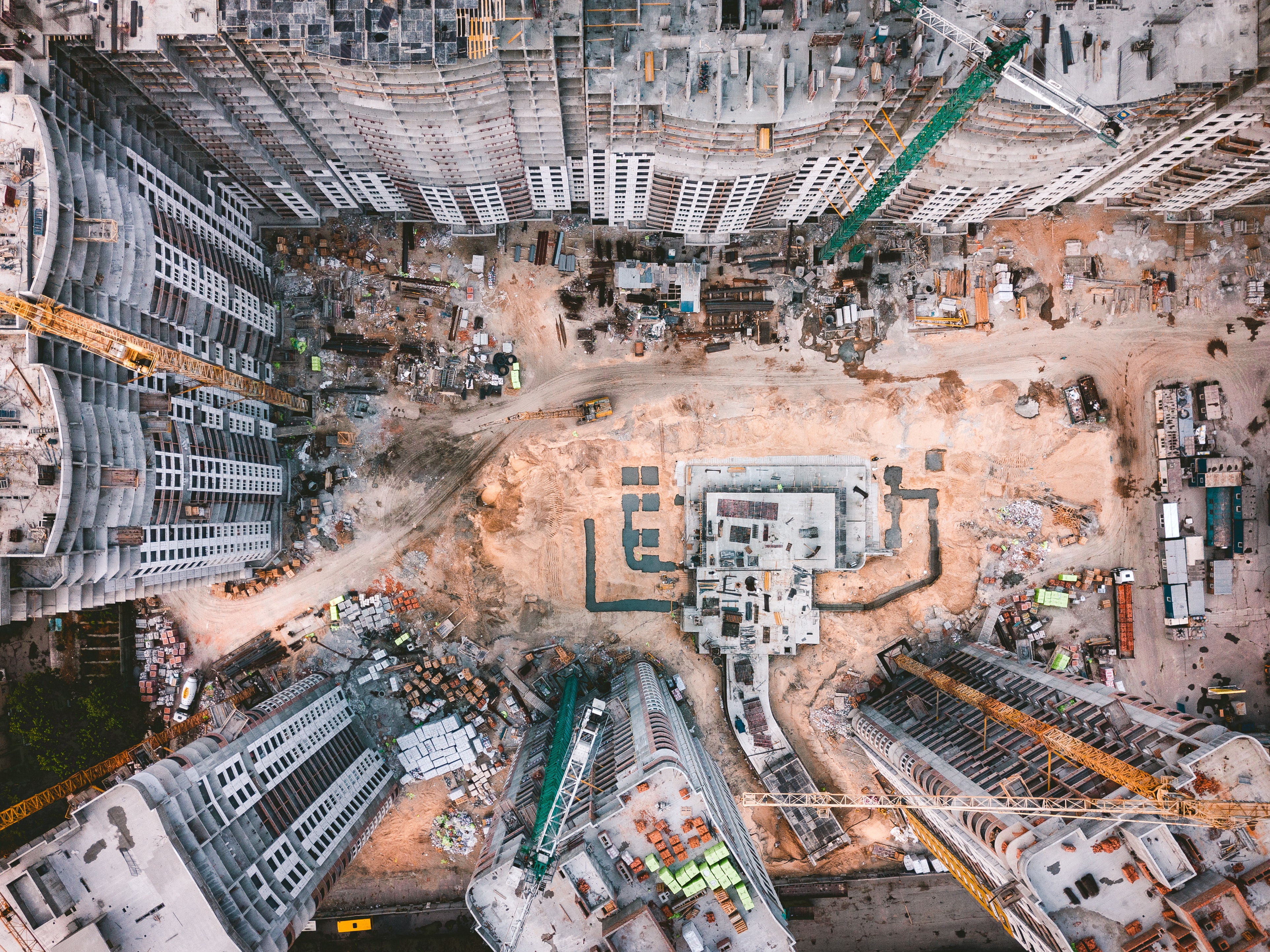
Our drone surveys assist in planning and optimizing haul roads, ensuring efficient transportation within construction sites or mining operations.

We utilize drone data to generate precise 3D models of structures, landscapes, or entire areas, facilitating visualization, analysis, and design processes.

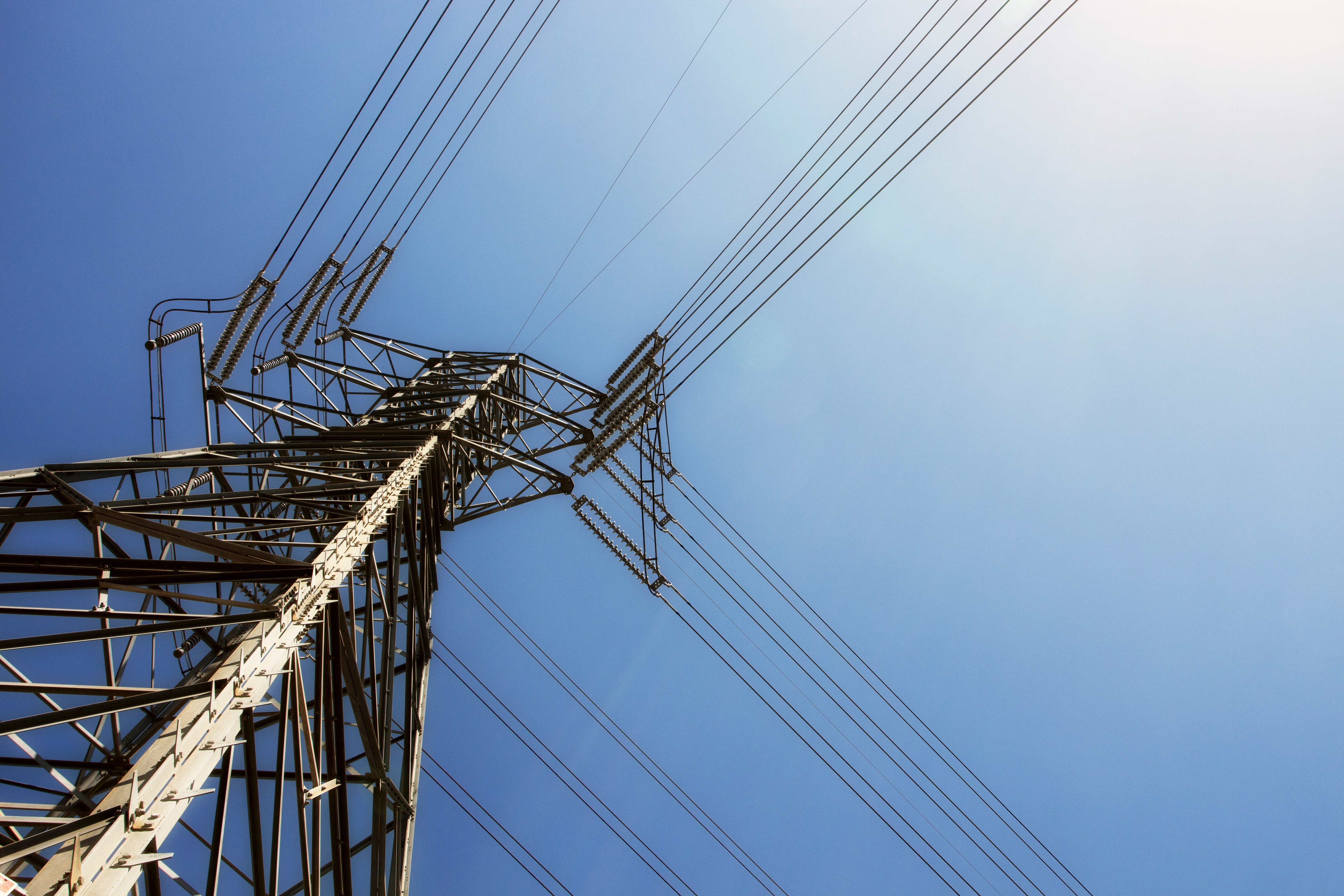
Drone industries play a vital role play in Powerline inspection and installation of new Powerline or Cell Tower.