Choose Npackets for cutting-edge drone solutions and expert data analysis

Application Areas of Drone Survey and Mapping

Agriculture
Agriculture

Transportation and Infrastructure

  • Road and Rail Surveys
  • Bridge Inspections
  • Utility Inspections
  • Lounge Key
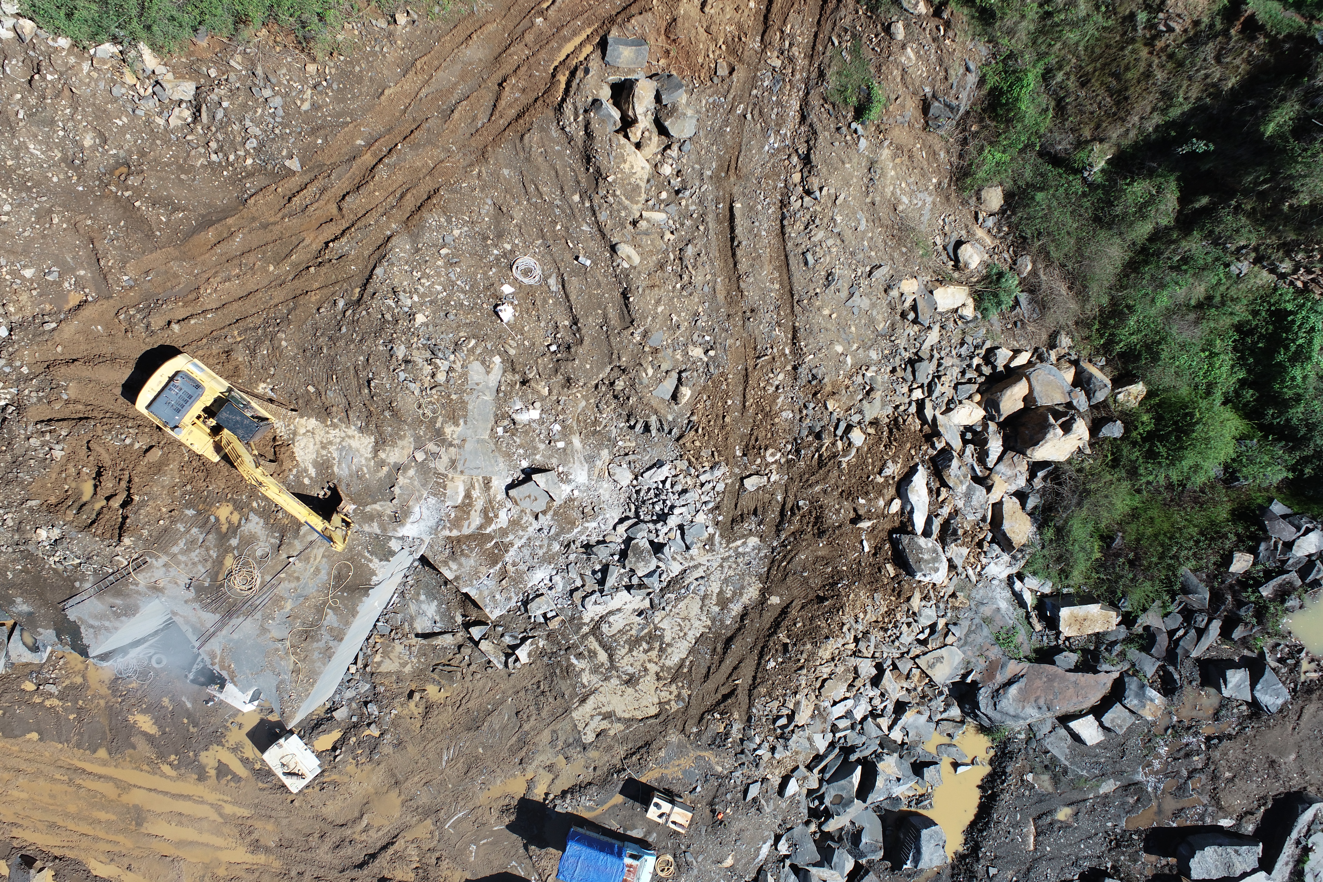
    Mining

    Real Estate and Property Management

  • Property Surveys
  • Land Development:
  • Building Inspections
  • Roads
    3d model

    Urban Planning and Development

  • Mapping and Modeling
  • Land Use Analysis
  • Environmental Impact Assessment
  • Roads
    Airport and Travel Enhancement

    Construction and Infrastructure

  • Site Surveying
  • Progress Monitoring
  • Inspection
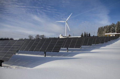
  • Renewable Energy
    Renewable Energy

    Archaeology and Cultural Heritage

  • Site Documentation
  • Excavation Planning
  • Preservation Efforts
  • Renewable Energy
    Renewable Energy

    Utilities and Energy

  • Wind Turbine Inspections
  • Solar Plant Inspections
  • Pipeline Monitoring
  • Renewable Energy
    Renewable Energy

    Agriculture

  • Crop Monitoring
  • Precision Agriculture
  • Field Surveying
  • Real
    real

    Environmental Monitoring

  • Forest Management
  • Wildlife Conservation
  • Disaster Response
  • oils
    Airport and Travel Enhancement

    Mining and Quarrying

  • Site Mapping
  • Volume Measurement
  • Safety Inspections