Spray pesticides to prevent the spread of plant diseases. With long wingspan, and large spraying span can spray more land in same time.
Successfull Project
Drone Flight
Trusted Clients
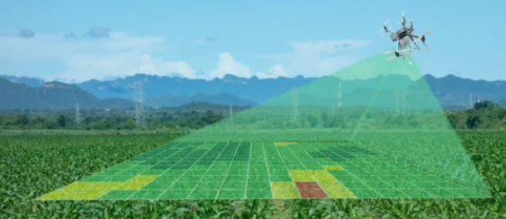
Whether you’re a grower, crop consultant, or large enterprise, Npackets drone-based agriculture solution--including drones, sensors, and PrecisionAnalytics Agriculture--will empower you to make more effective and efficient farming decisions.
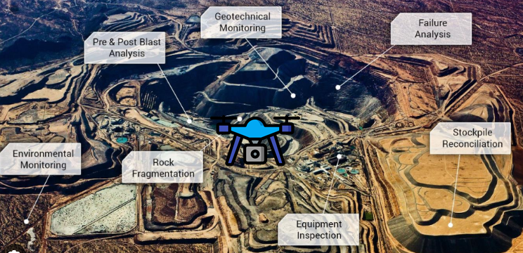
Currently Mining industries deployed drone for several use cases & making on-site activity more safer and productive. Here are few use cases: 1. Tailing Dam Management 2. Automatic Surveying and mapping 3. Monitoring and inspection 4. Haulage road optimisation 5. Stockpile management

Drone Tech will highly helpful in the road Survey, highway infrastructure management, bridge inspection, and road management operations. Few Use cases : 1. Accurate and real time data 2. Road inspection 3. Roads alignment proposing and designing.
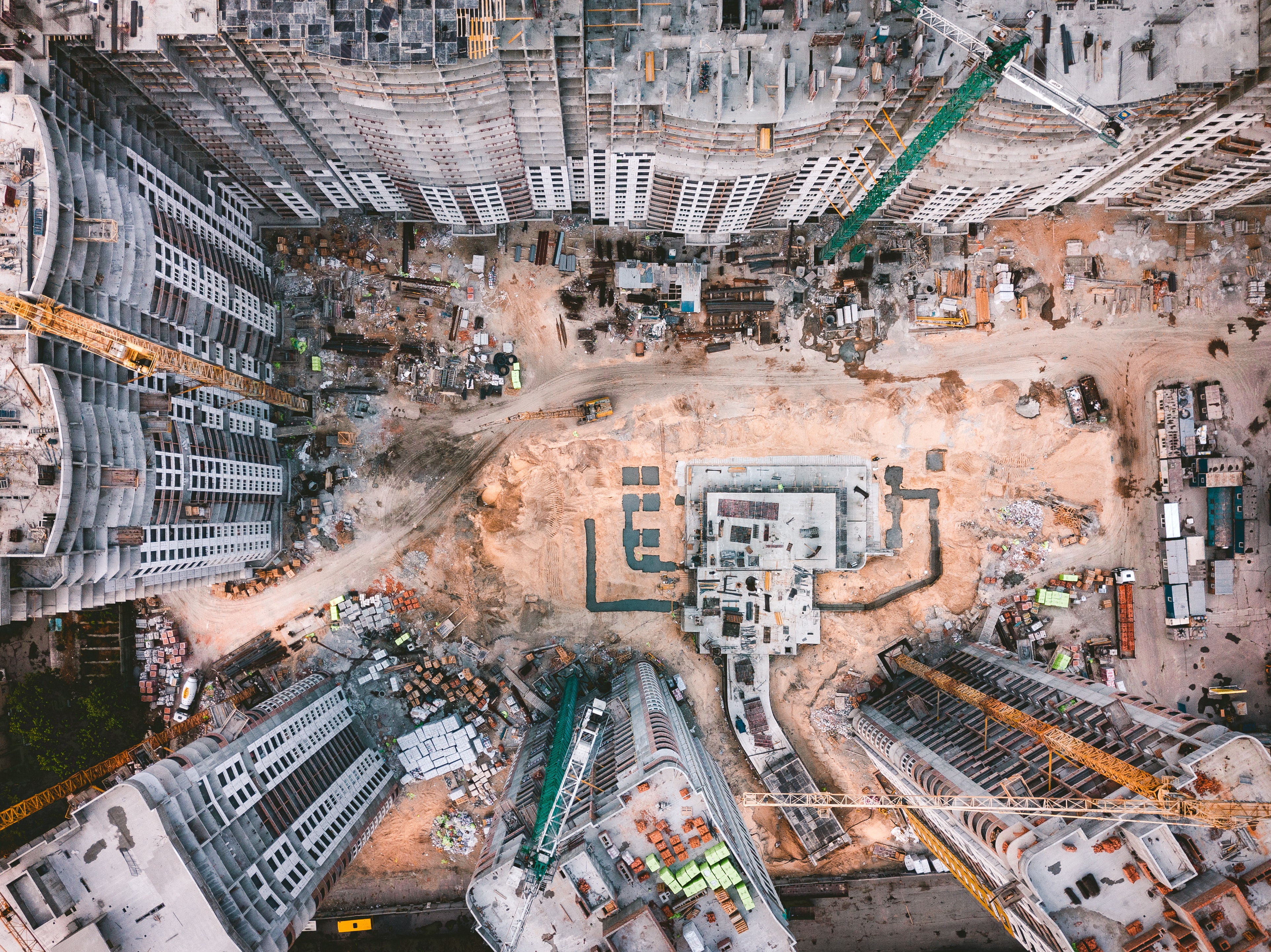
Data collected through data is helpful to create accurate 2D and 3D models that integrate seamlessly with local geographic information systems, helping teams visualize results.
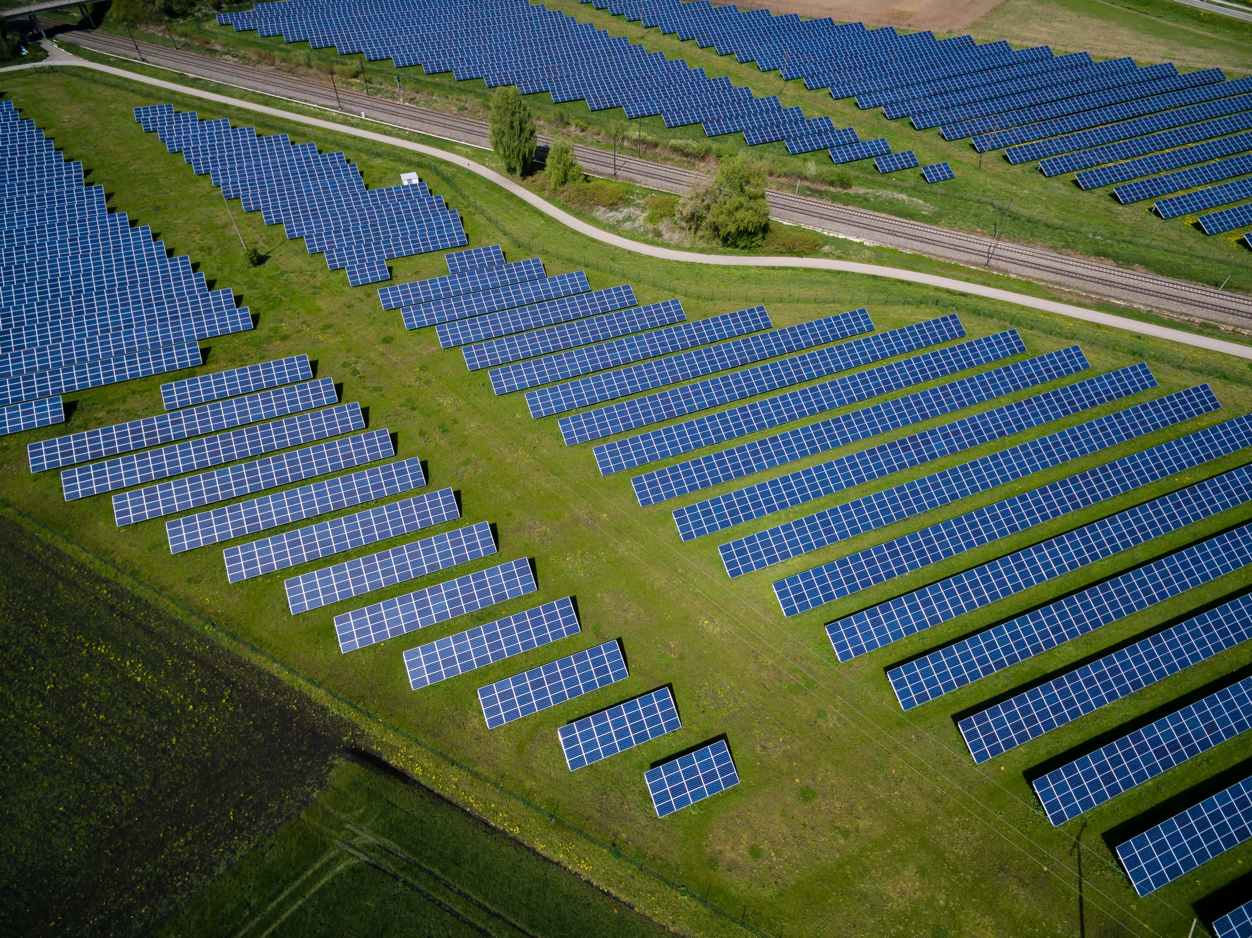
Future is here "Renewable Energy", Drone industries help to installation in Wind turbine or Solar panel by assisting the exact geographic location, makes easy to inspection of large wind blade.
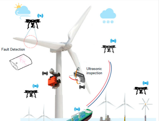
Future is here "Renewable Energy", Drone industries help to installation in Wind turbine or Solar panel by assisting the exact geographic location, makes easy to inspection of large wind blade.
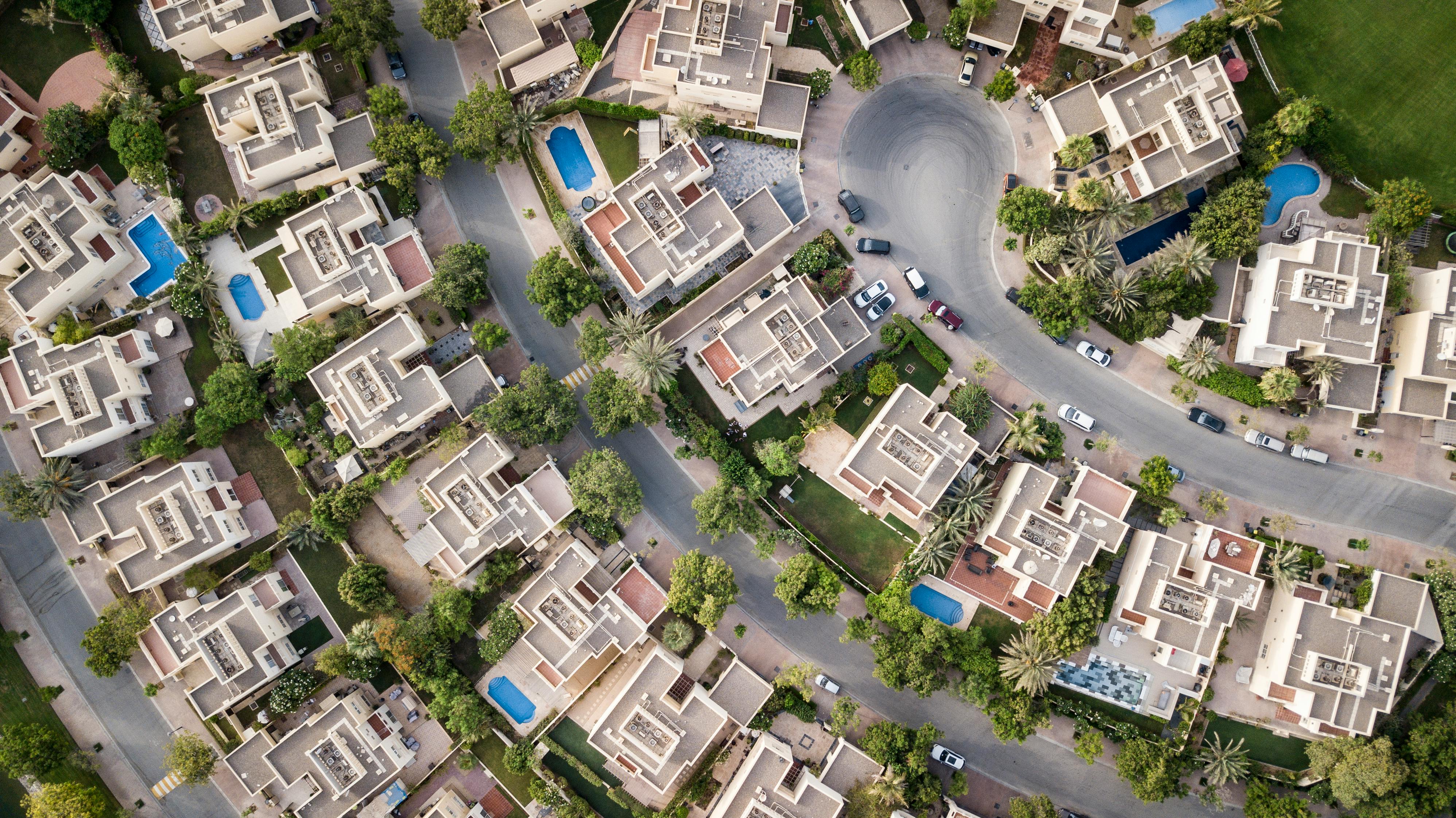
Now a day's drone provide a virtual tour for real state by providing a cinematic 2-D as well as 3-D view. It also help in property management by providing a geo-referenced Ortho map with Contour and CAD paln.

Drone are used in accurate space analysis for installation of new machinery, inspections with drones is more safer and time effective with the accuracy of data!
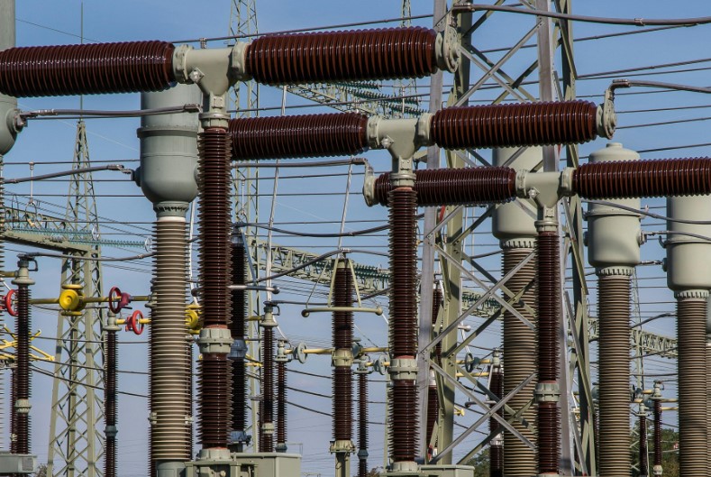
Drone industries play a vital role play in Powerline inspection and installation of new Powerline or Cell Tower.
Npackets is a leader in the field of drone services, with extensive experience in conducting high-precision surveys and inspections across various industries. Our team of experts is highly trained and proficient in the latest drone technologies, ensuring that we deliver accurate and reliable results every time.
We utilize cutting-edge drone technology equipped with high-resolution cameras, LiDAR, thermal imaging, and other advanced sensors. This allows us to capture detailed and comprehensive data, providing you with valuable insights that are crucial for decision-making.
Npackets provides a full range of services, from initial consultation and planning to data collection, processing, and analysis. Our end-to-end service ensures that all aspects of your project are handled professionally and efficiently, giving you a seamless experience.
Our efficient workflow and advanced data processing capabilities allow us to deliver results faster than traditional methods. This quick turnaround time enables you to make informed decisions promptly, enhancing the efficiency of your operations.
Our expertise lies in utilizing advanced drones equipped with state-of-the-art instruments to deliver unparalleled precision and accuracy in surveying. Whether it's land, railways, infrastructure, mining, airports, dams, reservoirs, roads, ropeways, irrigation, hill, Forest etc. we have the knowledge and experience to meet your unique surveying needs.